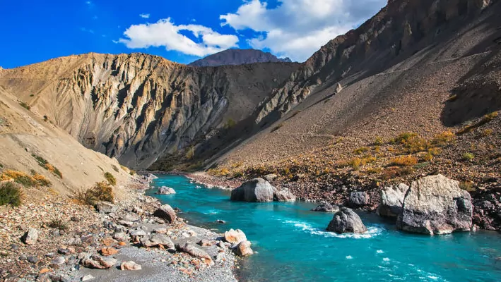
About Spiti River
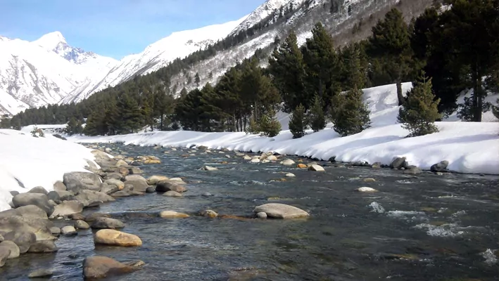
Spiti River has its origin from Kunzum Mountain Range, which is situated at a height of 16,000 ft above sea level. Spiti River snags a peak discharge of water in late summer due to melting of glaciers. It is the major tributary of the Satluj River and rises from a series of small snow-fed streams from the glaciers which are situated on the northern slopes of the main Himalayan range. The Spiti valley is visually similar to the Tibetan land which is situated at north across the international border. /p>
Economical Aspect
Rongtong, a 2 MW project is located in the Lahaul-Spiti district on Rongtong Nullaha which is a tributary of Spiti river. It is located at an elevation of 3,600 metres in a snow-covered region and was the first hydel project executed for the socio-economic upliftment of the tribals of this area.
River Course
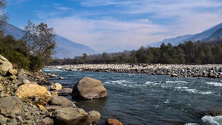
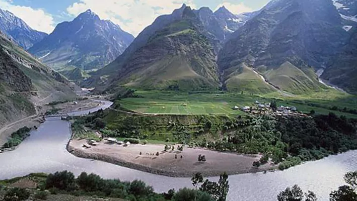
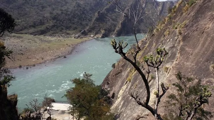
Spiti River originating from the Kunzum glacier meets Sutlej River at Namgia in Kinnaur district passing a length of about 150 km. from the North-West and after that it flows in South-West direction in the Himachal Pradesh. Spiti River, is one of the most important rivers of Lahaul and Spiti. The Spiti valley splits into an eastern valley that connects to Ladakh and Tibet and also to the western valley that connects to Kinnaur and Kulu through high passes.
Other Famous River In Himachal Pradesh


At a Glance
- 31°30′N 78°11′E
- China, India
-
Himachal Pradesh
- Kinnaur
- 175 Km
- Sutlej River

